6th Graders Map Out The Middle East
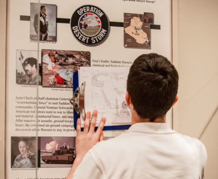
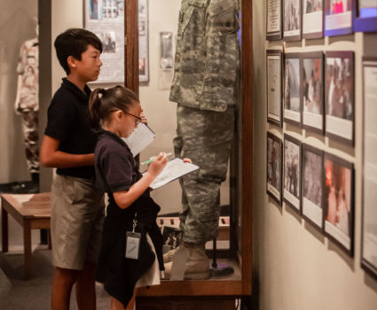
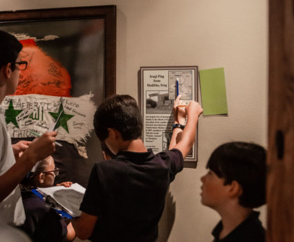
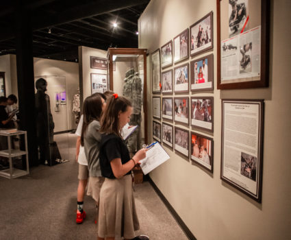
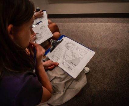
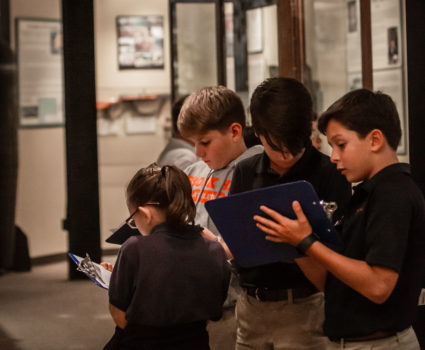
Maps in hand and instructions to move around the museum in search of Middle Eastern countries, each 6th grader practiced their map reading skills in tandem with their studies on 9/11 this past week.
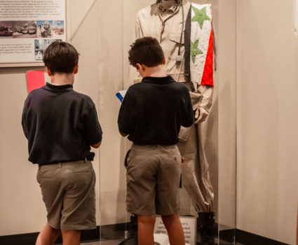
After watching a historical documentary about the 9/11 attacks, students talked through which countries made up the Middle East and discussed which ones were allies, who America went to war with, and what the region looked like from a geographical context.
Walking through the exhibit each student had to find a set number of countries and answer questions about where it fits on the globe, which countries neighbor it, and what hemisphere their country resided in! This activity was designed to strengthen their ties to a broader understanding of the world and build map reading skills, country by country.
Over the course of the year, on “Where in the World” Tuesdays, these 6th graders will focus specifically on the 32 countries that our Brook Hill boarding students come from, which further builds context and provides a way to connect learning within our Brook Hill community.