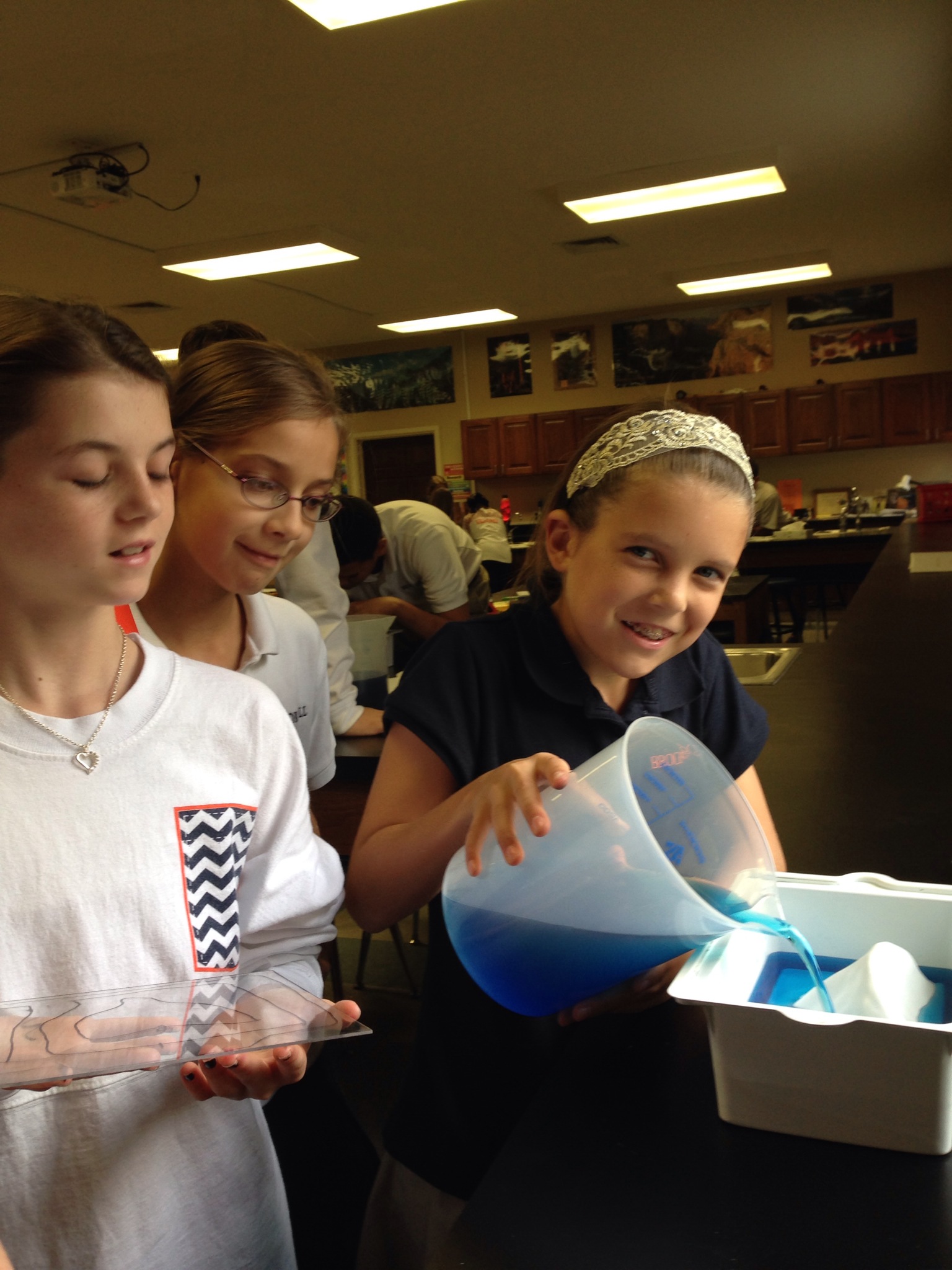
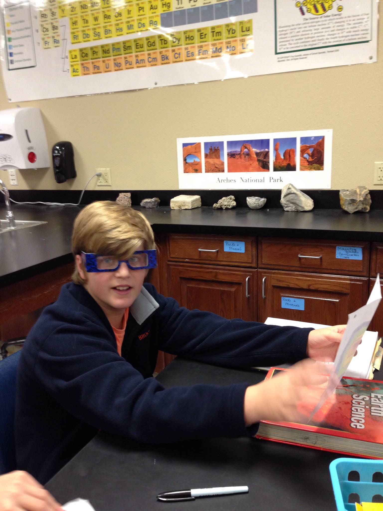
Contour Mapping in 6th Grade
Sixth graders used a landform model and colored water to make contour maps. As they covered the landform with water in one centimeter increments, they drew a picture on the lid of the model. It was then easy to see how the contour lines became closer together as the elevation increased. Then, students drew their own contour maps and colored them in the order of the spectrum and were able to see 3D images while wearing 3D glasses. Just a colorful way to see what contour mapping is all about!